SAN DIEGO, CALIFORNIA, JUNE, 2016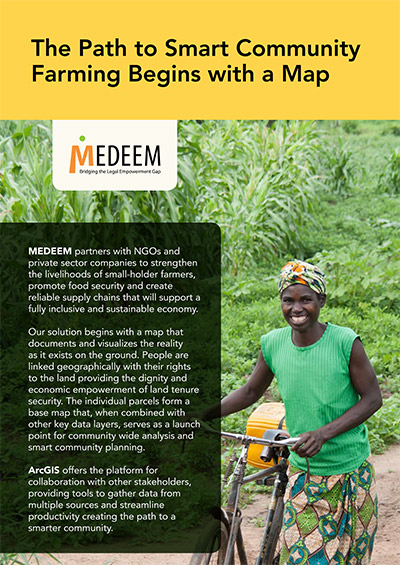
This year ESRI’s 2016 User Conference in San Diego showcased the tremendous and growing impact MEDEEM is making, both in the lives of the thousands of individual small-holder farmers being served in Zambia, but also in the development of smarter and more resilient communities in which they live. Although MEDEEM’s core mission is to provide equitable access to land tenure security, MEDEEM’s community mapping services and technology innovations broaden this impact by providing smart and efficient strategies for collaboration with the many other stakeholders and organizations also working to improve vulnerable communities.
Since it’s inception MEDEEM has depended on ArcGIS, to provide an efficient and robust field to fabric solution for accurate and affordable land rights documentation in Africa. MEDEEM’s innovative solutions have increased efficiencies and lowered costs by a factor of 10 in its mobile field data collection and parcel map production process. These cost savings are passed down to the client, allowing MEDEEM to offer an affordable and sustainable alternative to the otherwise high cost of parcel surveys and land tenure documentation.
MEDEEM Zambia is proud of the growing number of local partners that are looking to leverage MEDEEM’s experience in the development of parcel and community maps with the development of smarter villages, more inclusive conservation strategies and more climate resilient landscapes. The ArcGIS platform is at the heart of each of these new collaborations – providing the tools to gather data from multiple sources, streamline productivity, analyze trends and implement solutions – ultimately providing clarity and smarter solutions to a complex world